- Home
- About Us
- EUSR Courses
- Consultancy
- Compliance training
- NVQs
- FAQS
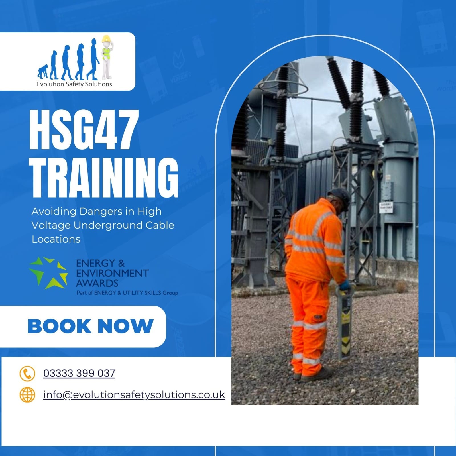
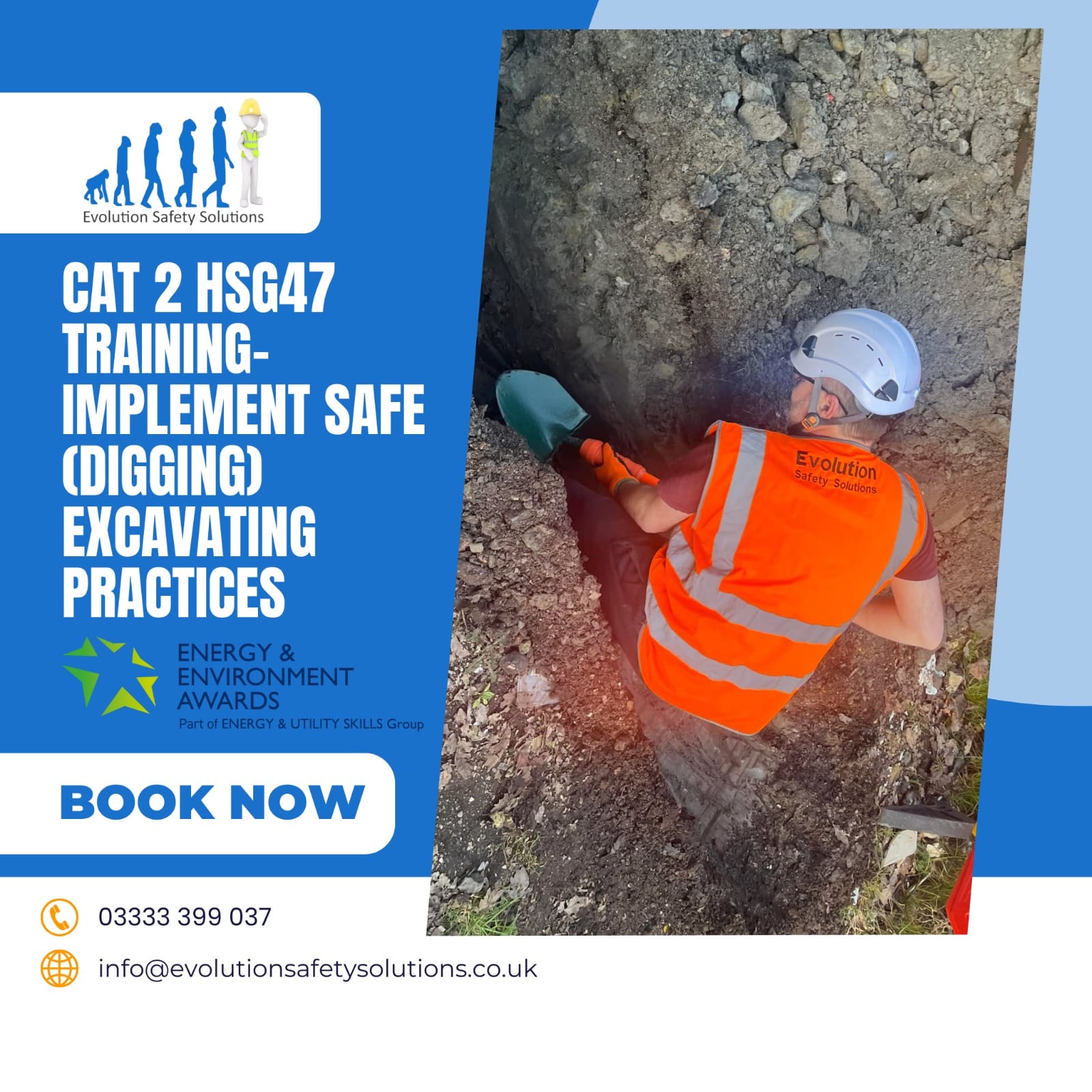
- EUSR SHEA
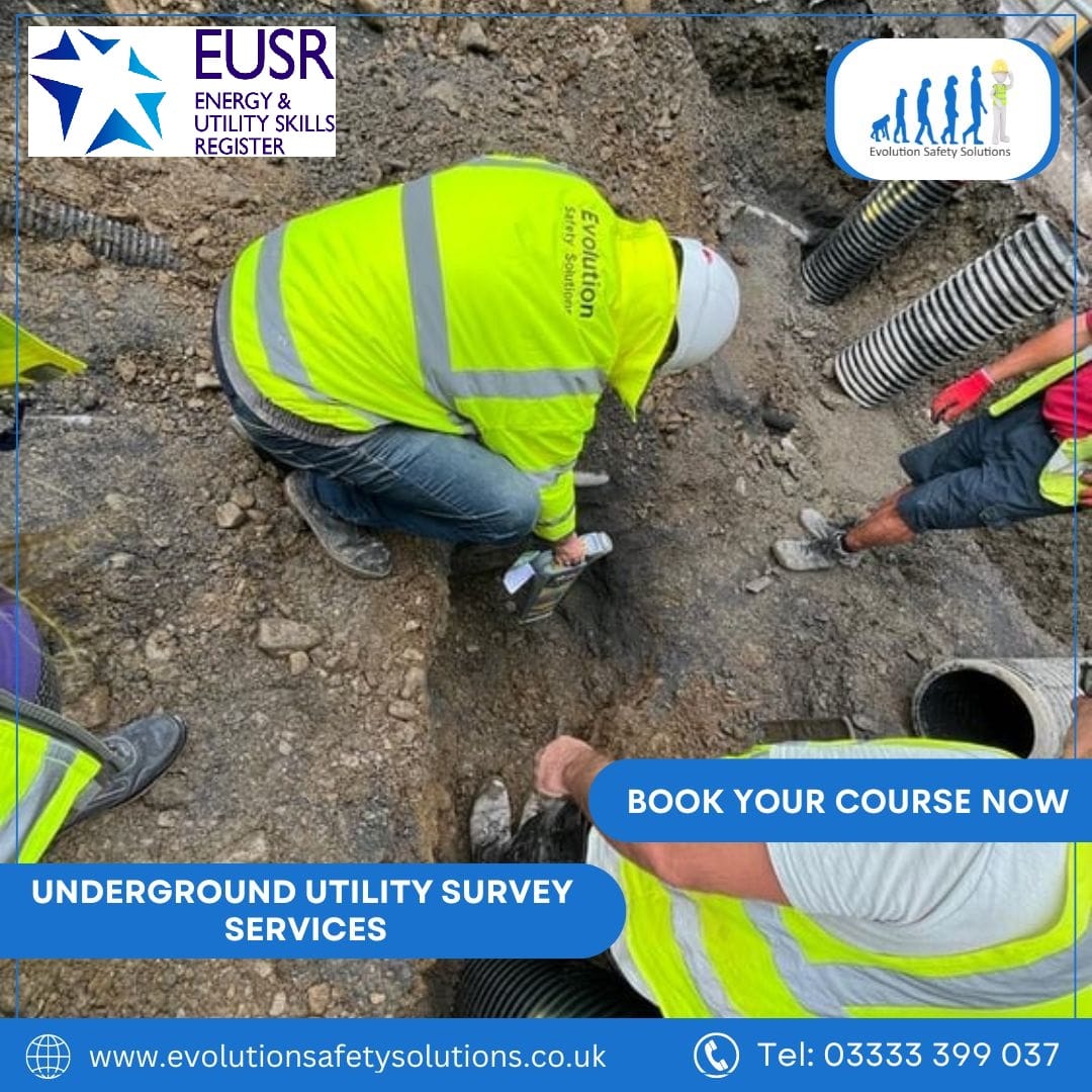
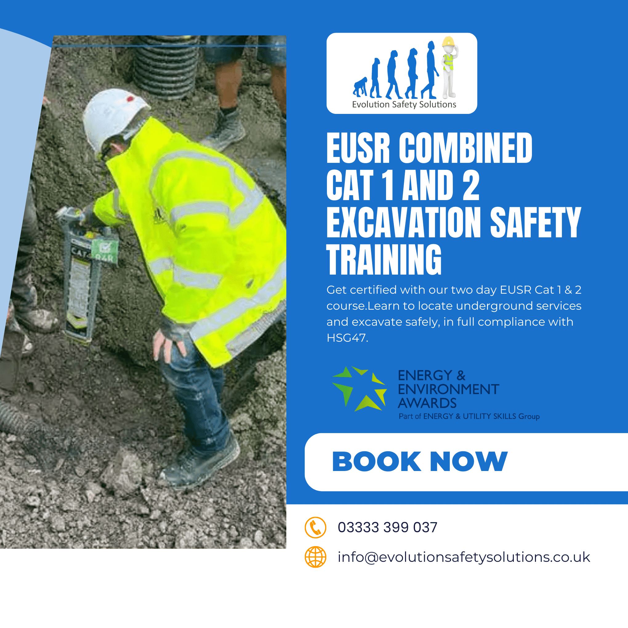
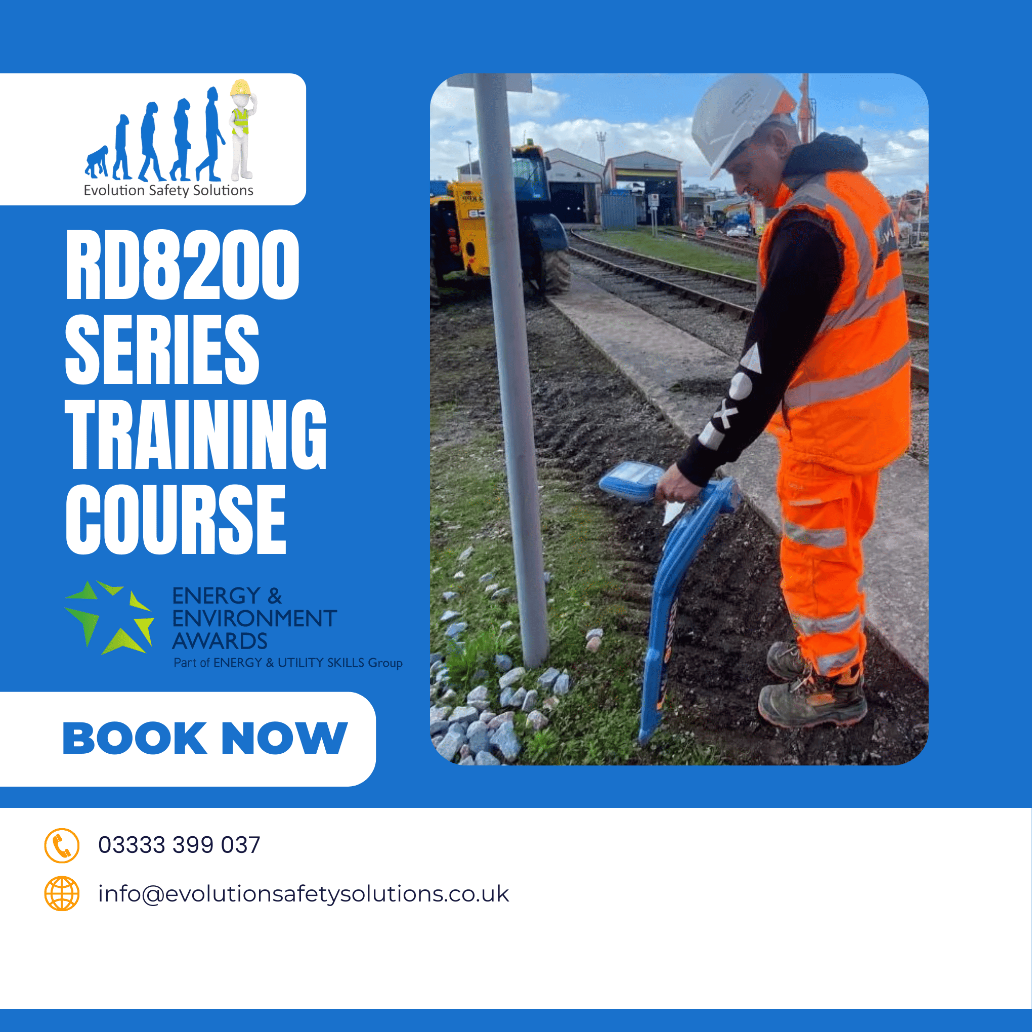
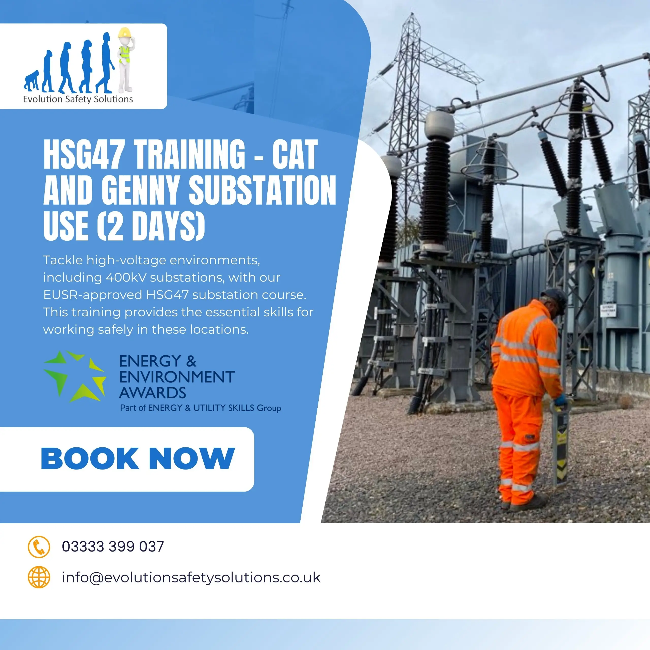
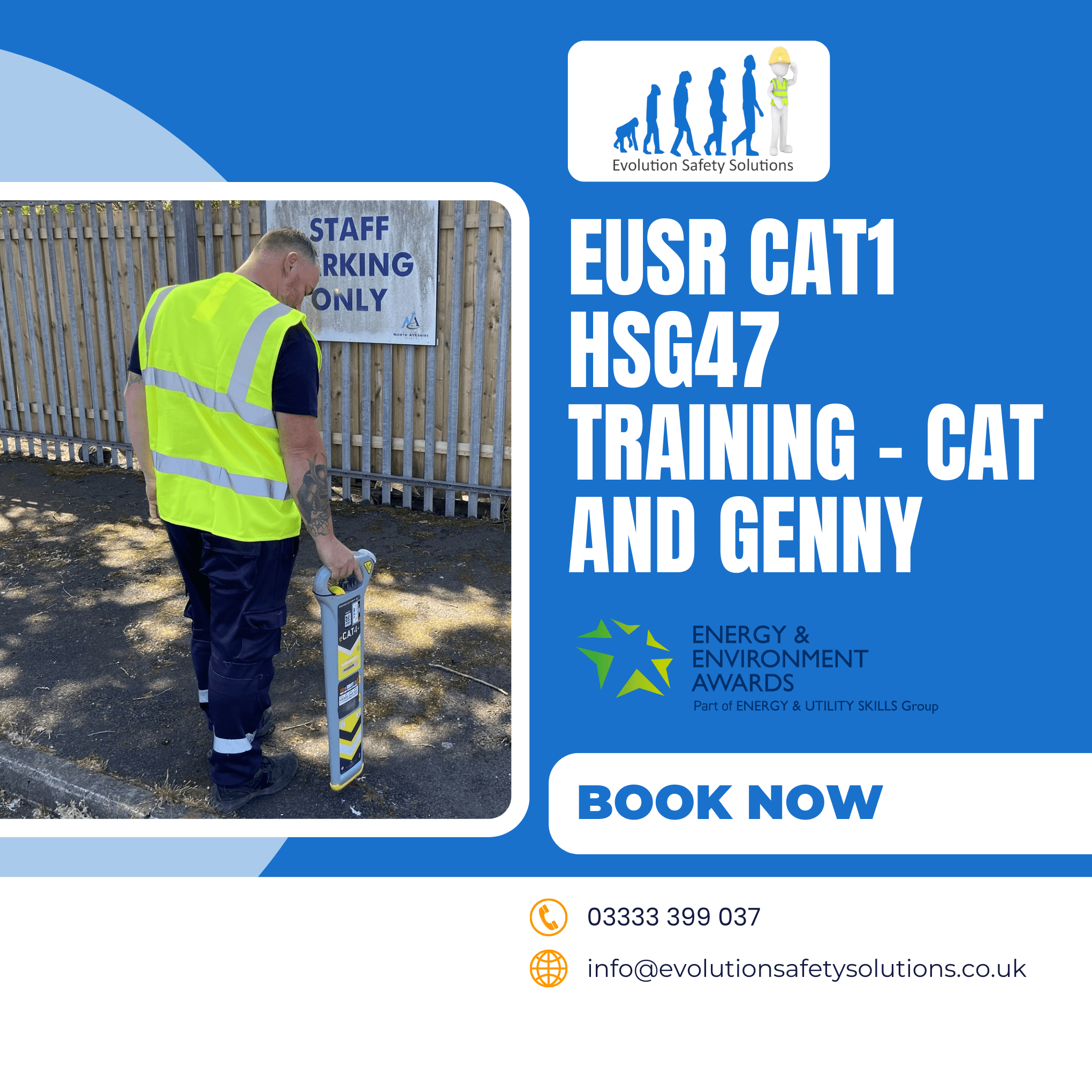
- Cat & Genny
- EUSR Manual Handling
- Consultancy
- EUIAS
- NVQs
- NVQ Level 6 in Construction Site Management
- NVQ Level 4 in Construction Site Supervision
- NVQ Level 6 in Construction Site Management
- NVQ Level 2 in Construction Diving Operations
- Level 6 NVQ Certificate in Occupational Health and Safety Practice
- Level 5 NVQ Diploma in Management and Leadership
- Level 3 Diploma in Management
- Level 5 Diploma in Fire Safety and Risk Management
- Insight